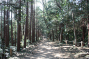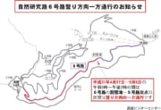


A hillside loop course. Different vegetation can be observed on the south and north routes.
Distance:900m
Time:30min (15 minutes each for the south and north routes)
Difficulty:★★☆☆☆
This is a loop course that allows you to go around the middle of Mt. Takao.
It can be divided into two routes: the route through the southern slope of Mt. Takao and the route through the northern slope.
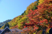
Mt. Takao is climate varies slightly, with evergreen trees such as holly oaks representing the southern half of Japan on the southern slope, and deciduous trees such as the Japanese beech, beech and maple that represent the northern half of Japan on the northern slope.
You can observe both kinds of vegetation on Trail 2.
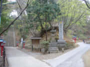
The south route is connected to Trail 3 near Jyoshin-mon gate.
The north route is connected to Trail 4, Jyataki Waterfall Trail.
The south route and the north route are not connected, and you should think of them as separate roads.
Because the distance is short and there are no facilities, it is a course that does not have many users.
Restroom in this section : None
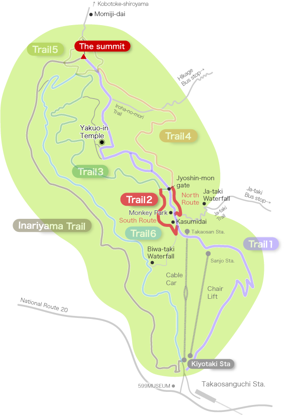
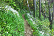
The south route (15min)
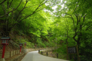
This route has evergreen trees such as holly oaks.
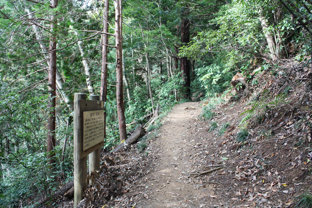
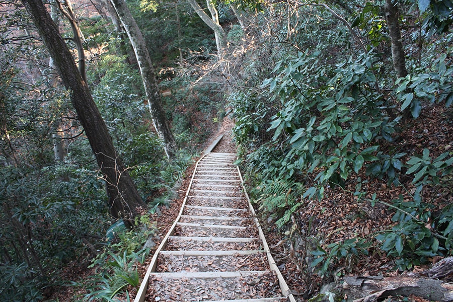
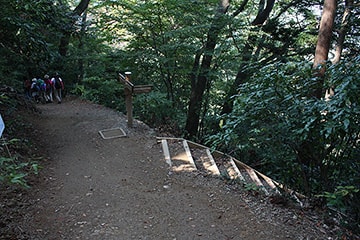
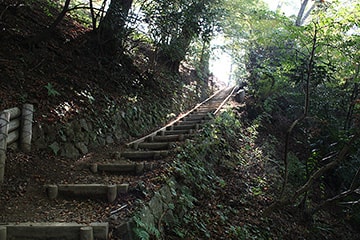
The steep stairs next to Kasumidai is the entrance to Trail 2 south route.
* As soon as you go down the stairs, the path branches into Trail 2 and the advanced course that leads to Biwa Waterfall (Trail 6).
The advanced course is a steep descent with rocky places, so be careful not to enter the advanced course by mistake if you are not well equipped.
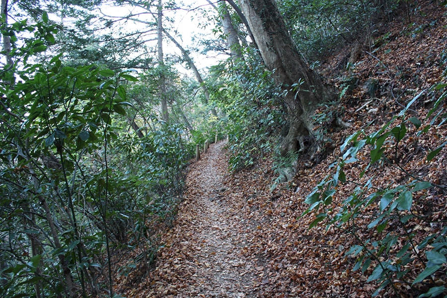
Trail 2 south side itself is easy to walk with gentle relief.
The south end of the route is connected to Trail 3. Trail 3 continues to the summit, so if you want to go to Yakuo-in Temple, take to Trail 1.
[Click for Large Image]
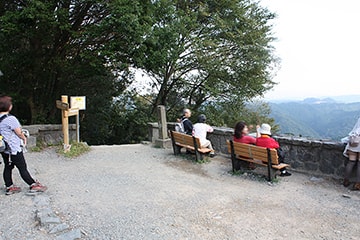
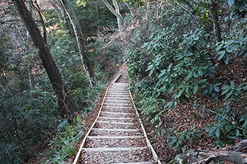
For the south route, go down the stairs next to Kasumidai.
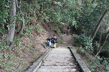
The stairs are pretty steep here.
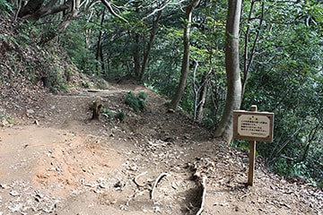
Here the path branches off to the advanced course that goes to Biwa Waterfall, and there is a caution sign.
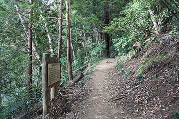
Follow a gentle path through evergreen trees.

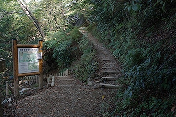
The final point is the stairs. If you go to the left, you can go directly to Trail 3.
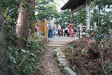
Go right on Trail 1 to arrive next to Jyoshin-mon gate
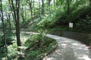
The north route (15min)
It is a route has many deciduous trees such as Inu Beech.
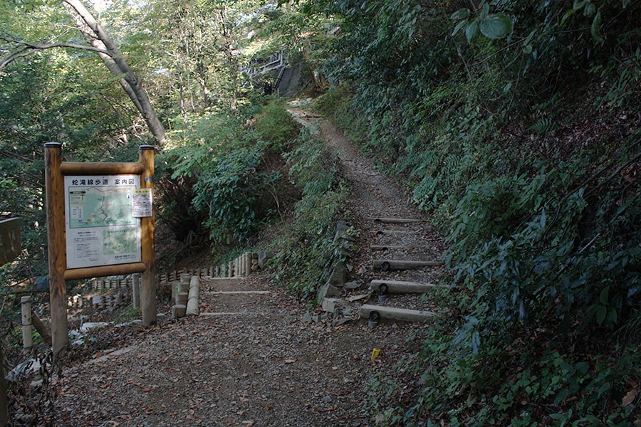
When you enter Trail 4 from the side of Jyoshin-mon gate, there is a staircase that goes down immediately, which is the entrance to Trail 2’s north route.
When you go down the stairs, you will find a gentle road with few undulations.
On the way, you can see Hachioji JCT of Ken-O Expressway from the trees.
If you go for a while, the path will climb and branch off to the Snake Falls (jyataki) course.
If you go up the stairs, you will come to the square in front of Kasumidai.
[Click for Large Image]
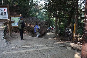
First, enter Trail 4 from the side of Jyoshin-mon gate.
The stairs on the right just after entering Trail 4 is the entrance to Trail 2’s North Route.
Go down the stairs for a while.
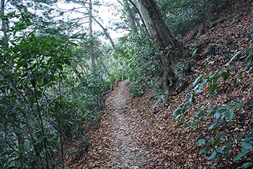
The trail is gentle and easy to walk.
Here the branches out to the Jyataki Waterfall Trail near the final point. If you go to the left, you will reach Jyataki Waterfall.
Go to the right and climb the stairs to the square in front of Kasumidai.
Check Point!
-
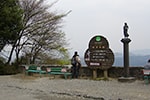
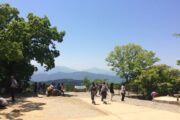
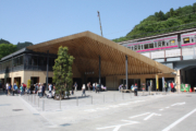
Kasumidai
The observatory is just a short walk from the cable car station. It is next to “Juichichomechaya”. Route 2’s south side route goes down from the side of observatory.