


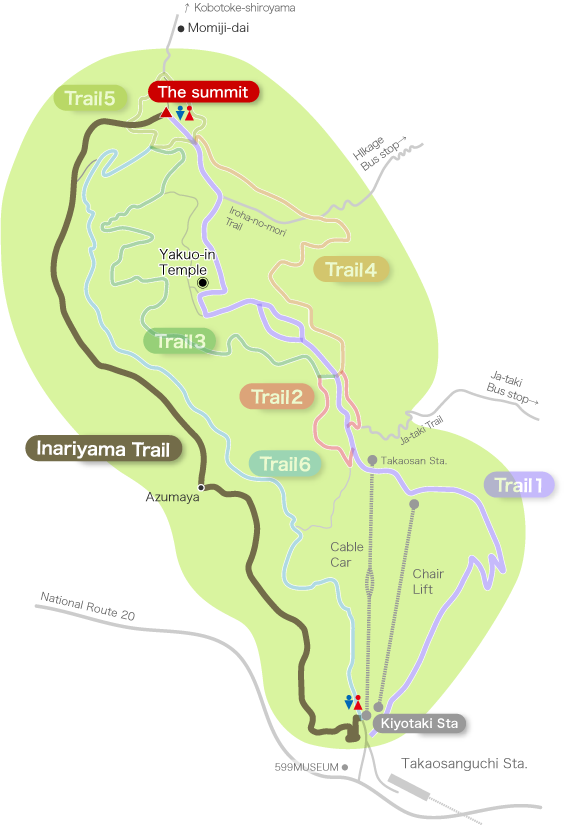
The hardest course from the foot to the summit
Distance:3.1km
Time:90min(up) 70min(down)
Difficulty:★★★★☆
This course follows the south ridge, differing from the main ridge of Mt. Takao.
The trail was originally created as a forestry road followed by cedar and cypress forests.
The path is steep from the trailhead to the middle of the course where you will find Azumaya (a rest hut), but from the middle to the summit, you can walk relatively comfortably.
As with Trail 6, about 200 steps appear just before the summit.
This course can be quite slippery, especially when descending when the ground is wet.
Restrooms in this section : None
* The restroom that was near Azumaya (the rest hut) was removed due to aging.
From the foot of the mountain to Azumaya (40min)
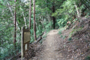
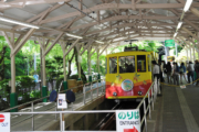
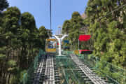
The entrance to the Inariyama Trail is on the left side of the cable car Kiyotaki Station.
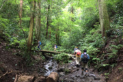
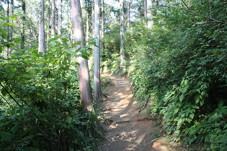
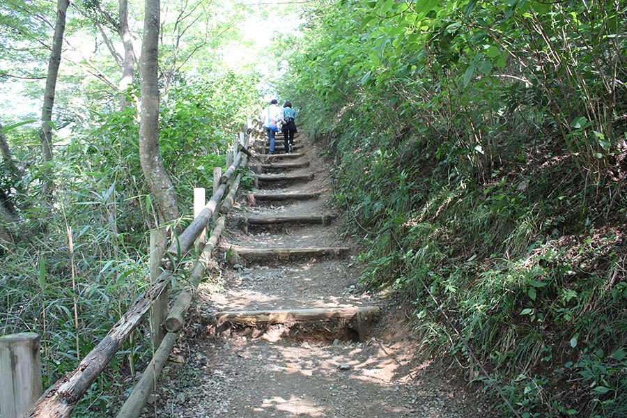
The steep slope continues to Azumaya, and it is the hardest part of the course of Mt. Takao.
The restroom that used to be near Azumaya was removed due to aging.
[Climbing up. Click for Large Image]
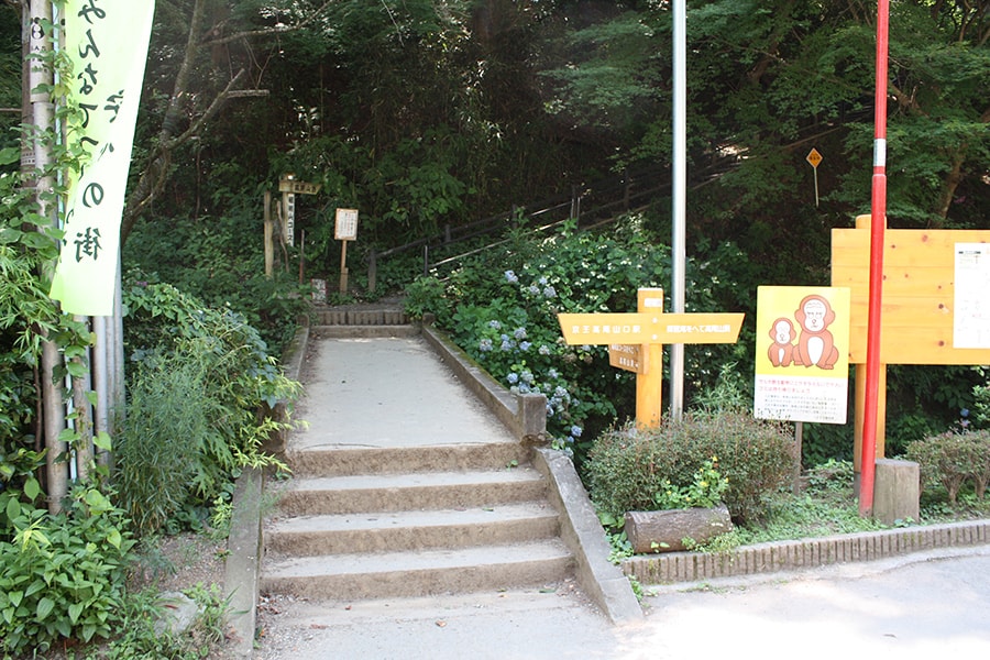
Start at the left of Kiyotaki Cable Car Station.
Take the stairs from the beginning.
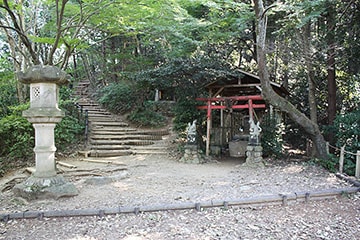
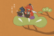
“Asahi Inari” is the origin of the name of the Inariyama Trail.
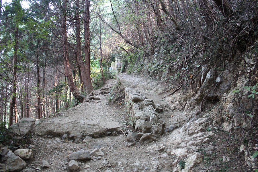
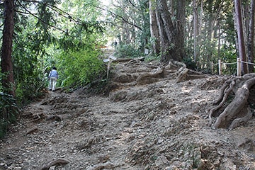
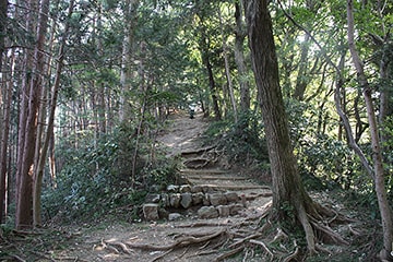
A rocky path. The ground is bumpy.

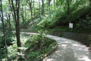
After climbing the rocky path, it becomes a gentle path.

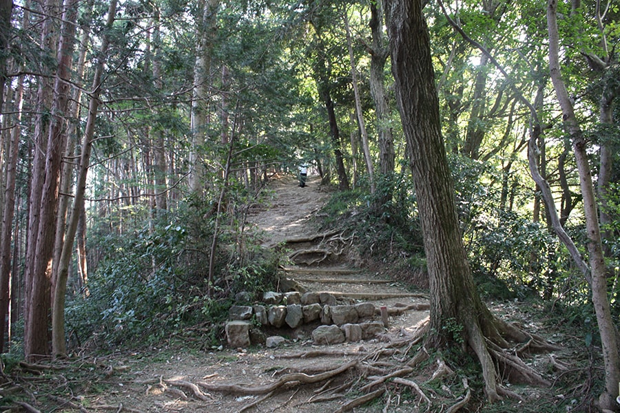
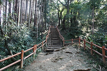
A little further down and the slope becomes steep again.
Azumaya is just past these steep stairs.
Go straight up and you will see Azumaya. The left is a shortcut path. If you have no use for Azumaya or the observatory, it is recommended to take this shortcut.
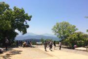
From Azumaya the scenery is perfect.
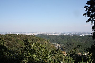
A view from the observatory. Here you can see part of Shinjuku.
Check Point!
-
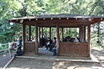
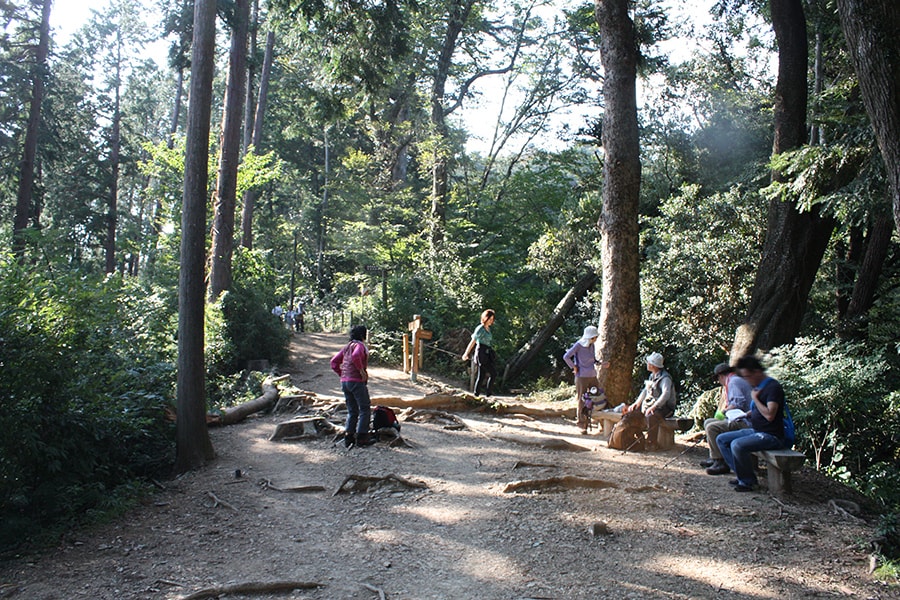
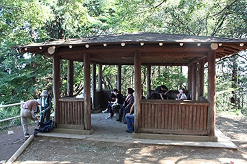
Azumaya (rest hut)
The hill with Azumaya is an observatory, and you can see Hachioji city and even all the way to Shinjuku.
From Azumaya to the Intersection with Trail 5 (50分min)
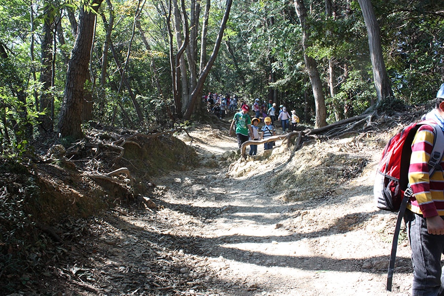
From Azumaya to the summit, there is a comparatively gentle path where you can walk comfortably.
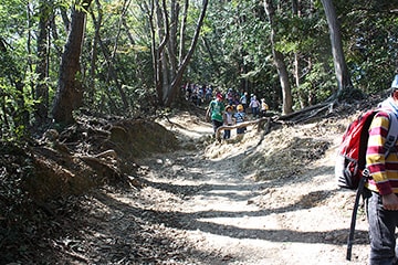
Since it is a ridge road, it is bright and wide, so it is often used by children on excursions.
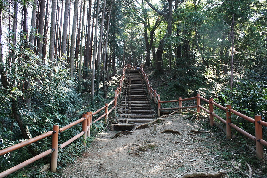
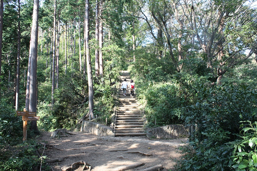
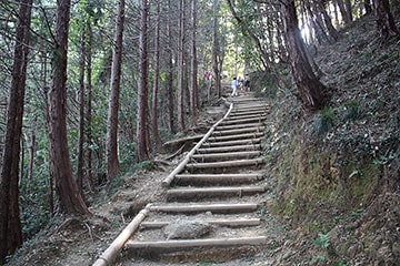
A long flight of stairs to the intersection of Trail 5 is the final trial before the summit.
[Click for Large Image]
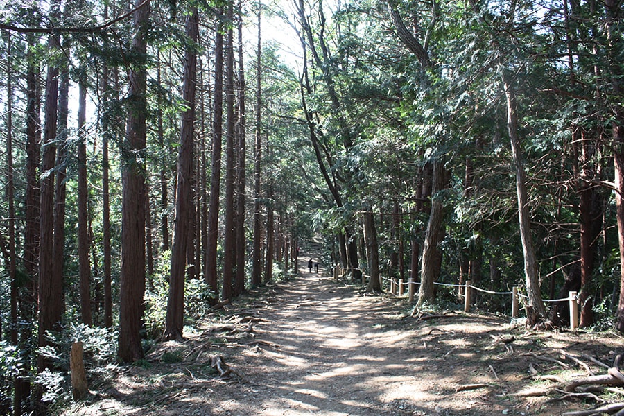
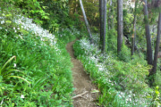
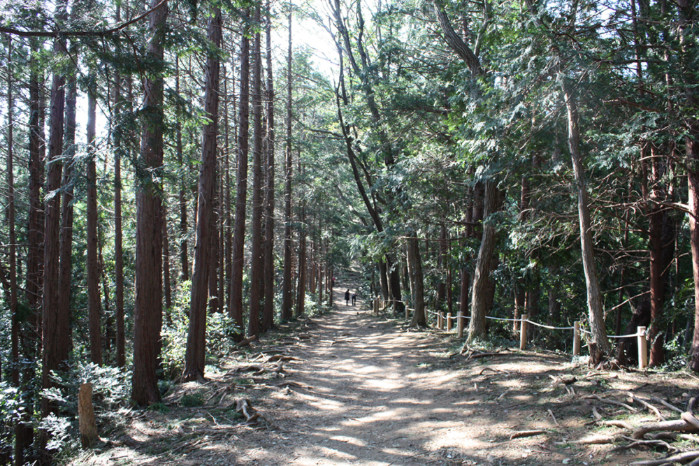
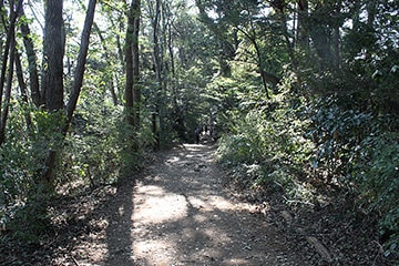
After Azumaya the gentle path continues.

The sunlight peaks through here because the trail traces the face of the mountain ridge.
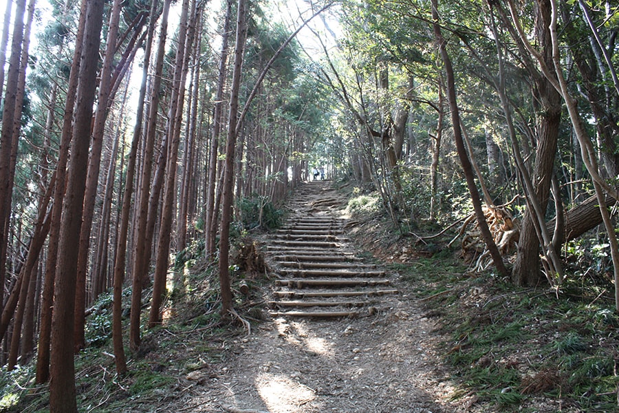
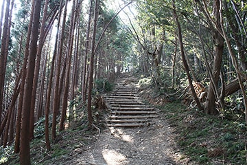
Here you must climb, though the elevation does not change much.
These stairs constitute 2/3 of the entirety of Inariyama Trail.
You can also hear the sound of travelers from Trail 6 because they are parallel paths.
Trees such as cedar and cypress stand statuette on the left, and while Japanese oaks take it easy on the right.
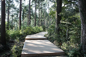
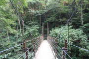
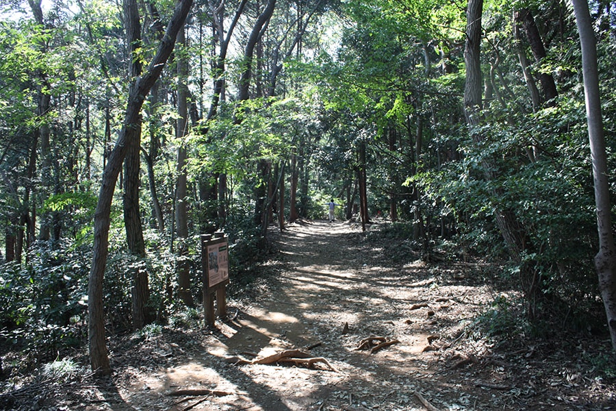
Here we come to an easy to traverse wooden path.
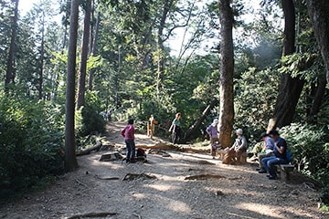
Here are some benches where you can take a break. The path to the right is Trail 6.
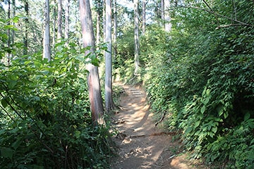
Here the path becomes narrows again.
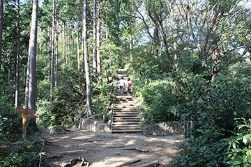
Now you have arrived at the intersection with Trail 5. To progress you must first surmount the 200 stairs from Trail 5.