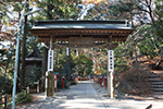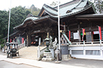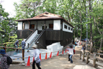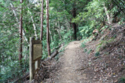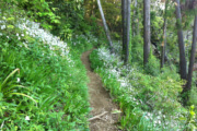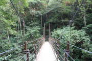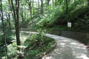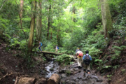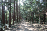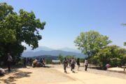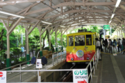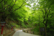
The most popular way to the peak with many shops is Omote-sando (the principle road) to Yakuo-in Temple
Distance:3.8km
Time:100min(up) 90min(down) (by cable car or chair lift : 50min(up) 40min(down))
Difficulty:★★★☆☆ (by cable car or chair lift : ★★☆☆☆)
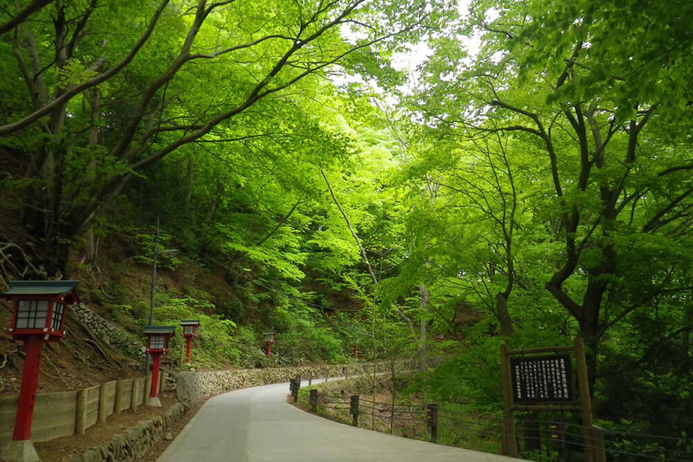
Omotesando (the principle road) is useful for those traveling Yakuo-in Temple, and all the roads leading up to Yakuo-in are paved.
Since only the short section before the summit is not paved, you can climb casually even in everyday wear.
It is the busiest course with many restaurants, the cable car station, a monkey park, cedar trees, and Yakuoin.
There are many restroom in the cable car stations and Yakuo-in.
Trail 1 divided into three sections.
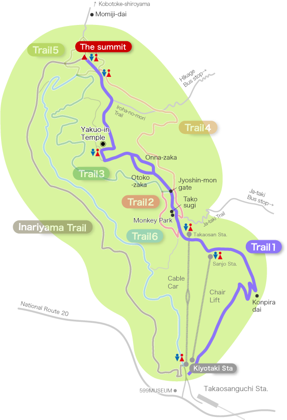
From the foot to middle of the mountain (50min. without taking cable car or chair lift)
The cable car or chair lift, can be used as a shortcuts, but If you want to enjoy climbing, you should try walking.
It takes about 50 minutes and the slope is tight, but all are paved and easy to walk, so even children can climb without problems.
Many kinds of flowers can be seen in spring, and it is an excellent place to observe nature.
Restrooms in this area:None
[Click for Large Image]
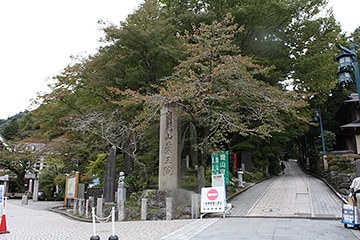
Start at the side of the cable car near Kiyotaki station square.
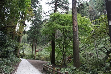
A tall cedar tree welcomes you near the entrance.
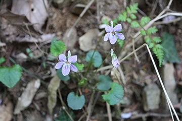
In spring, one can find many violets and other greenery.
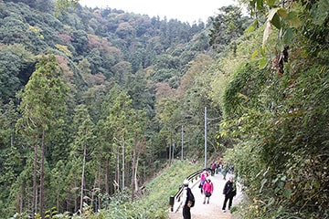
The trail is winds up from the middle of this section.
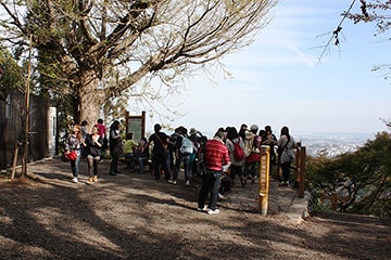
The Konpiradai Observatory.
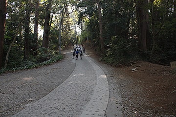
This last slope is steep.
Check Point!
From the cable car and chair lift station to Yakuo-in Temple (20min)
People using the cable car or chair lift get off here and can begin their trek.
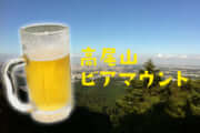
Around the cable car station, there are many restaurants, the beer mountain, observation decks, and restrooms.
On the way to Yakuo-in, there are more restaurants, souvenir shops, and even a monkey park that is divided into two stories!
Restroom in this section : Next to the lift station, opposite the cable car station, Yakuo-in
[Click for Large Image]
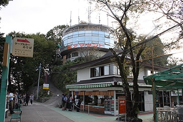
Around the cable car station. The building that looks over there is the Observatory and Mt. Takao Beer Mount Venue
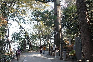
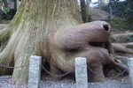
After passing the monkey park, the popular photo spot “Takosugi” (Octopus shaped cedar)
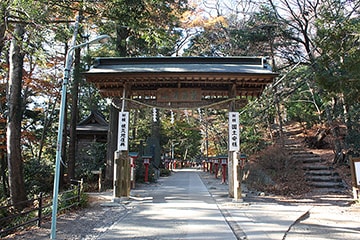
Jyoshin-mon gate. Go right for Trail 4 or left for Trail 3.
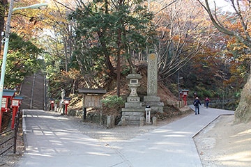
Otoko-zaka (stairway) on the left and Onna-zaka (inclined slope) on the right.
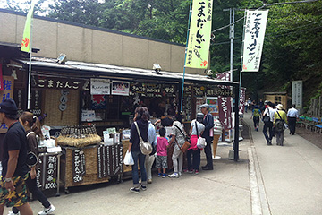
After climbing the hill, you will find “Gongen Chaya” famous for its rice dumplings
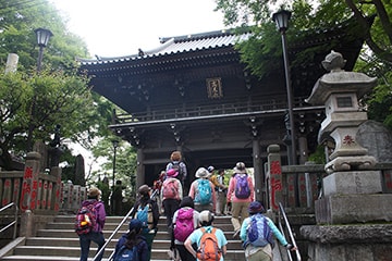
After passing the cedar row, you will find yourself at Yakuo-in Temple.
Check Point!
From Yakuo-in Temple to the summit (30min)
To reach the summit from Yakuo-in, you must first climb a number of long staircases from the precinct.
The main route is the staircase leading from the Main Hall to Izuna Gongen-do Hall, but it can also be reached from the right side of the Main Hall (slightly slower from the right handside).
After passing through the precincts, it becomes a mountain path that is not paved, followed by a rough road.
However, because the distance is short, even children can reach the top of the mountain. And kids are so energetic, they may even beat you on the sprint to the summit!
Restrooms in this section:the summit, below the summit
[Click for Large Image]
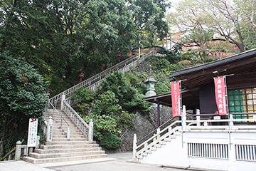
Stairs leading from Yakuo-in Main Hall to Izuna Gongen-do Hall.
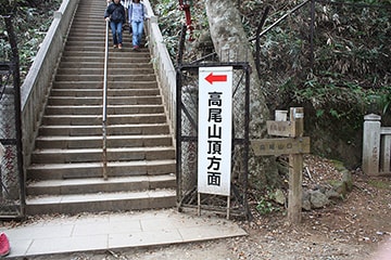
There are more stairs even after leaving Izuna Gongen-do Hall.
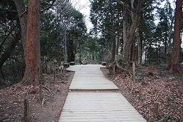
A wooden path is maintained after passing through the precincts.
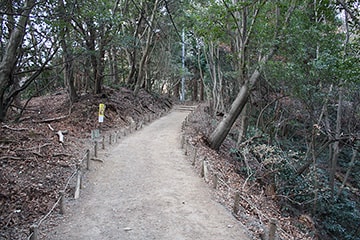
First dirt road on Trail 1. It is a mountain road with ups and downs.
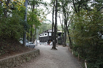
If you can see a huge restroom, the summit is right there.
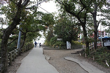
This is the final push to the summit.


