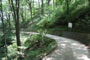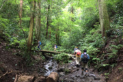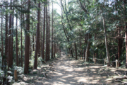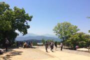
This trail is recommended for those who want to go to the summit with minimal crowds.
Distance:2.4km
Time:60min(up) 50min(down)
Difficulty:★★★☆☆
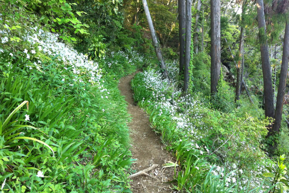
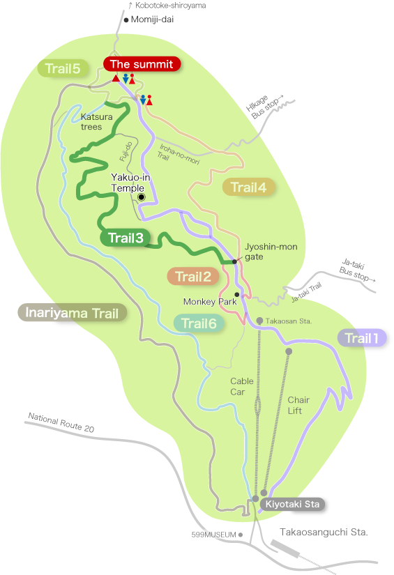
Trail 3 winds to the left from Jyoshin-mon gate on Trail 1 and passes through the southern slope of Mt. Takao.
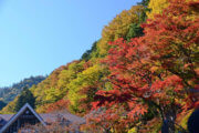
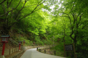
It passes through a forest with many warm trees, wild grass and evergreen trees. (By contrast trail 4 on the north slope comes in at the same elevation and is full of deciduous trees)
You can see Katsura trees (cercidiphyllum japonicum) in the area near the summit.
Because there are many evergreen trees, the view is not so good and it feels dark, but there are few steep places and it is a relatively easy course.
Near the top of the mountain, it will merge with “Fuji-do” (a back road not shown in the course map) coming from Yakuo-in, and finally merge with Trail 5 until the summit.
Since this trail is relatively free even in the busy season such as when the autumn leaves fall, it is also recommended for those who want to go to the top of the mountain to avoid congestion.
Restroom in this section : None
[Climbing down. Click for Large Image]

Intersection with Trail 5. The road on the left is Trail 5, the road from the summit. The road down to the right is Trail 3.
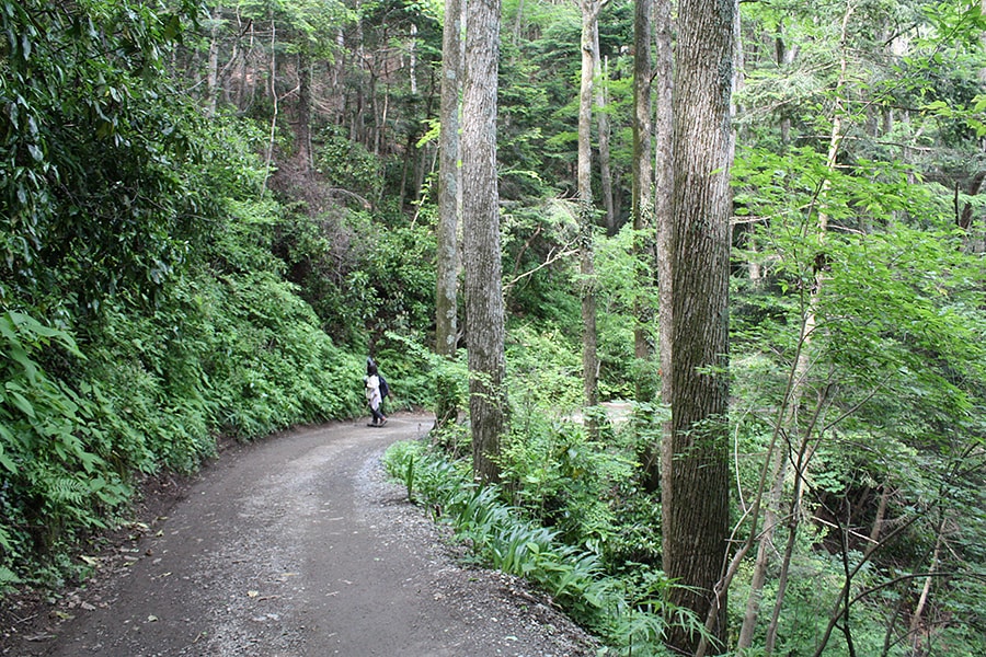
Here is “Fuji-do” the back road, follow this path for a while from the intersection with Trail 5. On the right you can find Katsura trees.
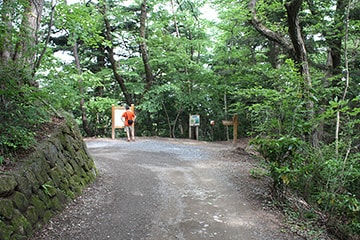
On the right is the entrance to Trail 3. On the left, go to Yakuo-in on “Fuji-do”.
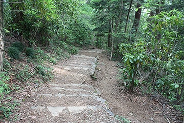
Go down the stairs for a while.
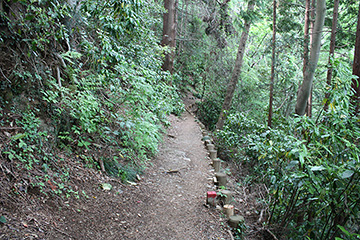
The road is narrow throughout Trail 3.
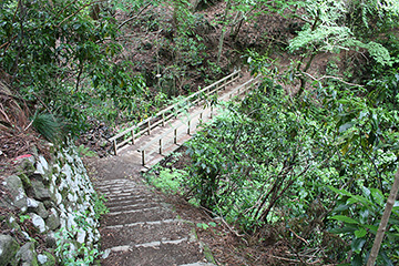
There are about 4 small wooden bridges.
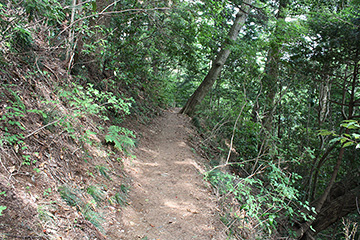
As you can see there is not much traffic.
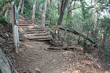
The end of Trail 3. If you go to the right, you will continue to Trail 2’s South Route, and turn into Trail 1. (Next to Jyoshin-mon gate)


